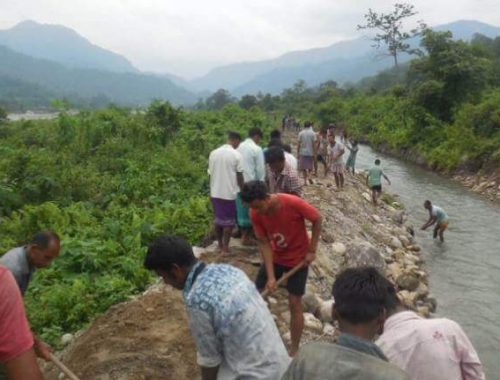
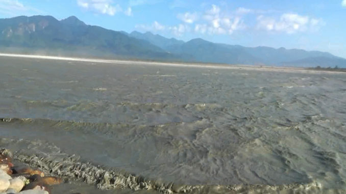
GUWAHATI: The water of Siang river in Arunachal Pradesh, which flows in from Tibet, that has been murky black since November last year has turned turbulent, creating big waves that are unlike of a river for over two weeks now. The East Siang district administration has issued an advisory to the people living on the banks to stay clear of the river.
“It has been observed that since last two weeks or more, the flow of Siang river is fluctuating with unusual waves. However, as reports received from the water resource department, Pasighat division, there is no reason to be panicked as Siang river is currently flowing below the danger-level mark. However, as precautionary measures, general public is cautioned to refrain themselves from venturing into the Siang river for fishing, swimming etc to avoid any eventualities,” states the advisory note issued by deputy com missioner of East Siang district.
An official of East Siang district said, “The river has been murky since October last year and now this turbulent behavior of the river. This river flows from Tibet and we cannot pinpoint the causes for its unusual behavior. We have written to the state government for taking the matter to the central government. We think that there should be a verification team, which can travel beyond the border to find out the exact causes.” Locals say that they waves created in the river are big, and looks like to be as high as two meters.
The causes of the unusual behavior could either be man-made or natural. Last year, China clarified that it would not pollute its own river, Yarlung Tsangpo, the name by which Siang is known in Tibet. Several scientific studies in subsequent periods held an earthquake of 6.4 magnitude on the Richter scale in Tibet as a strong reason for generating enough dirt to turn the colour of the water from crystal clear to black. There is no official version from the central government so far though.
The Siang is the principal constituent river of the Brahmaputra and it originates from the glacier mass of the Kailash range of the Himalayas and flows eastwards for about 1600 km through the Tibetan plateau. Before entering India it is joined by its tributaries Shap Chu, Nayang Chu, Rang Chu, Yarling Chu, Tong Chu, Shang Chu, Kyi Chu and Po- Tsangpo.
It takes the name of Siang as it enters India at Geling in Upper Siang district and is joined by two other rivers, Lohit and the Dibang join the Siang at about 30 km downstream of Pasighat, which is about 230 km from the international border, to form the mighty Brahmaputra river. (Source : TNN, Photo courtesy: NE Now)